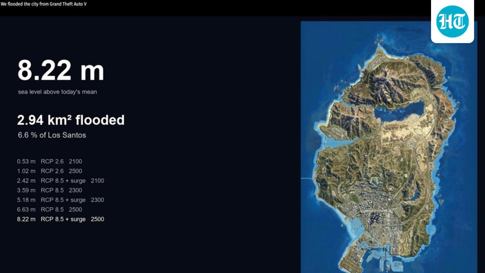
They used a fan-built 3D model of the map, and pinned it to coordinates with 11 control points and set the sea level from 31 shoreline points
Scientists flooded GTA’s Los Santos to simulate rising seas
Published ·
Keep reading
Related stories





Meta changes Instagram's recommendation systems in India, curbs sexually suggestive, violent content